Hike to the top of Frazer Bay Hill

Previous Page
(For an 3520X700 image, double click the picture.)
Hike to the top of Frazer
Bay Hill
Frazer Bay hill is now officially called Casson's Peak. It is also called
Nehahupkung by the Indians who consider it sacred.
This is the peak on the peninsula that Okeechobee Lodge is on. There is a trail to the top from both the Baie Fine side and Frazer Bay sides. The Baie Fine side trail is steeper but has a more protected anchorage. You will find the Baie Fine side trailhead just past a small island with a foot bridge to the mainland. There is a cottage on the island. The island is just up the bay from a large anchorage in a bay off the channel up to Baie Fine. The trail starts about a one quarter of the way up the main part of Baie Fine. The trail is well marked with orange surveyors tape. If you have not seen a marker for a minute or so, your are probably off the trail. Backtrack and try again. Just before the summit, the markers become scarce. Bear to the right and and go for the high point. The trail is shown on a map in the book The North Channel and St. Mary's River: A guide to the History. The book also tells the Indian legend about the peak.
The top is 1175 feet above sea level, 600 feet above the lake level. If you go into the anchorage, swing wide so you avoid the shallow spot that I ruined a prop on.
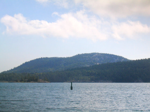
This is a view of Frazer Bay Hill as you approach it heading up Baie Fine.
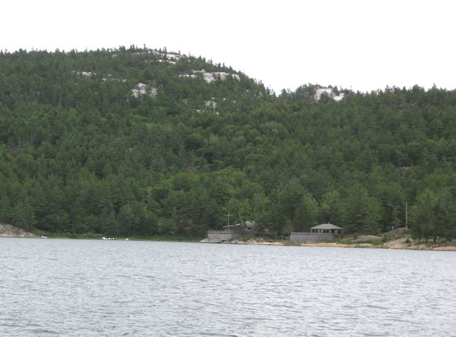
Getting close to the trailhead, double click on the picture to see the bigger version and you will be able to see the boats center left in the picture parked at the trailhead.
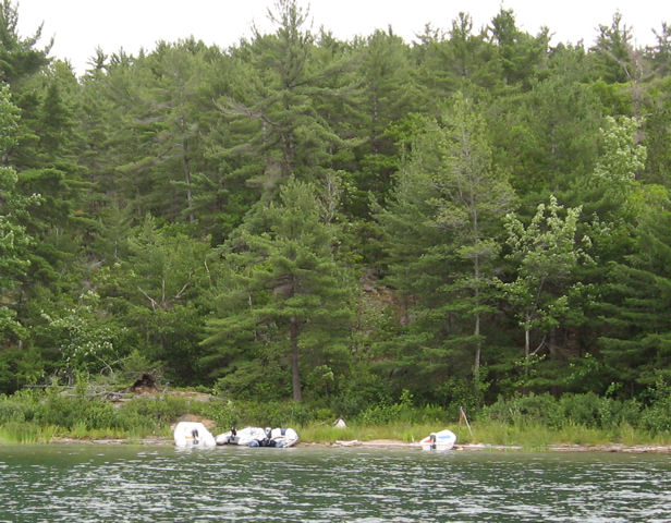
This is a close up of the trailhead boat parking area. If you look at the expanded version of the picture, you will see a crude flag marking the trailhead. Its appearance, no doubt, changes from year to year.
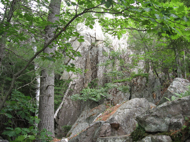
Scene along the trail to the top of Frazer Bay Hill.
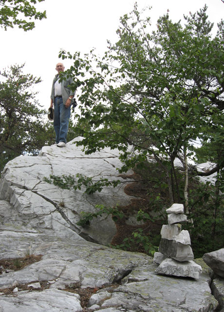
Jim Whitaker on the trail to the top. Notice the trail marker in the foreground.
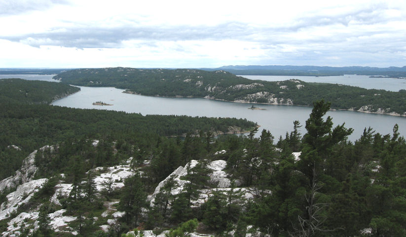
View from the top looking west south west, the first body of water is Baie Fine. The second one is McGregor Bay. McGregor Point is in the distance.
Rev. 9/16/07